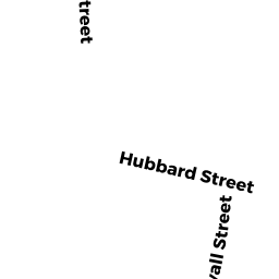
70-84 HUBBARD STREET
Owner Information
GUILMETTE, GARY R
76 SOUTH BROOK ROAD
EAST LONGMEADOW, MA 01028


Property Details
70-84 HUBBARD STREET is classified as a Mixed Use (Warehouse).
The primary structure on this property was built in 1927. There are 6,226ft2 of built area within this property. There is 6,226ft2 of residential/living space within this property.
70-84 HUBBARD STREET is valued at $616,300. The land is valued at $205,500 and the structures are valued at $392,200. There is an additional valuation of $18,600 on this property.
This property is in Zone 6. Confirm with local Zoning Board authorities to ensure there are no overlays or other easements on this property.
The most recent deed for 70-84 HUBBARD STREET is recorded at the local registrar in Book SEE, Page FILE. 70-84 HUBBARD STREET was last sold on Thursday, August 12, 1999 for $260,000.
Assessment data from fiscal year 2022.
Flood Data
According to the FEMA National Flood Hazard Layer, this property does not appear to be in a flood zone. It may also be in an area not yet reviewed. Nonetheless, confirm this information prior to taking any action.
To view the flood hazards around this property, create a FEMA "Firmette" Map of the area around 70-84 HUBBARD STREET.
Broadband Internet Providers
| Provider | Type | Bandwidth (mbps) | |
|---|---|---|---|
| Viasat Inc | Satellite | 100 | 3 |
| GCI Communication Corp. | Satellite | 0 | 0 |
| HughesNet | Satellite | 25 | 3 |
| VSAT Systems, LLC. | Satellite | 2 | 1 |
| Charter Communications Inc | Cable | 940 | 35 |
| Verizon New England Inc. | DSL | 15 | 1 |
Broadband service provider data from December 2020.
Adjacent Properties
- 100 HUBBARD STREET
Apartments with Four to Eight Units owned by EBK PROPERTIES, LLC - 109-113 SEWALL STREET
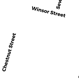
Three-Family Residential owned by TOKARZ, BEVERLY & STANKO, - 95-97 WINSOR STREET
Mixed Use (Primarily Residential, some Commercial) owned by K & W RAINBOW LLC - 0 WINSOR STREET
Undevelopable Residential Land owned by CHESTNUT OFFICE PARK - 56-62 HUBBARD STREET
Apartments with More than Eight Units owned by MARTA, FAUSTO L & MARIA C &